
Shillong & Meghalaya
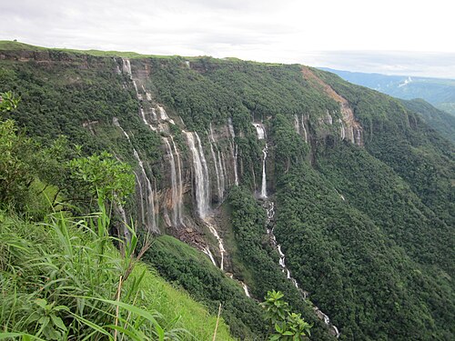
The “abode of clouds”: living root bridges, crystal-clear rivers, waterfalls and some of the wettest places on earth.
Jun-Apr 4-6 days
Places to visit
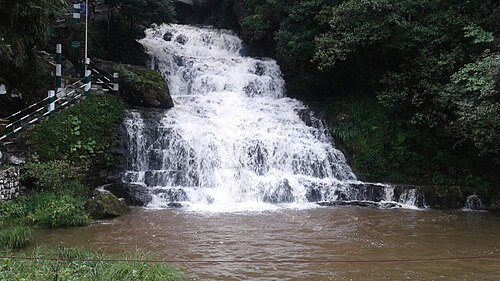
30 places on one map: 10 waterfalls, 4 temples, 3 lakes, 2 national parks and more. Tick off the ones you have seen and they go into your India passport.
The “abode of clouds”: living root bridges, crystal-clear rivers, waterfalls and some of the wettest places on earth.
Jun-Apr 4-6 days
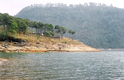
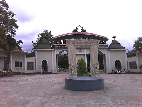
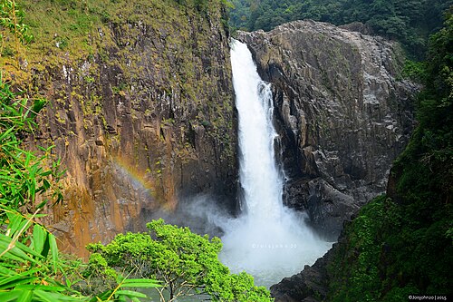
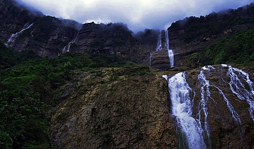
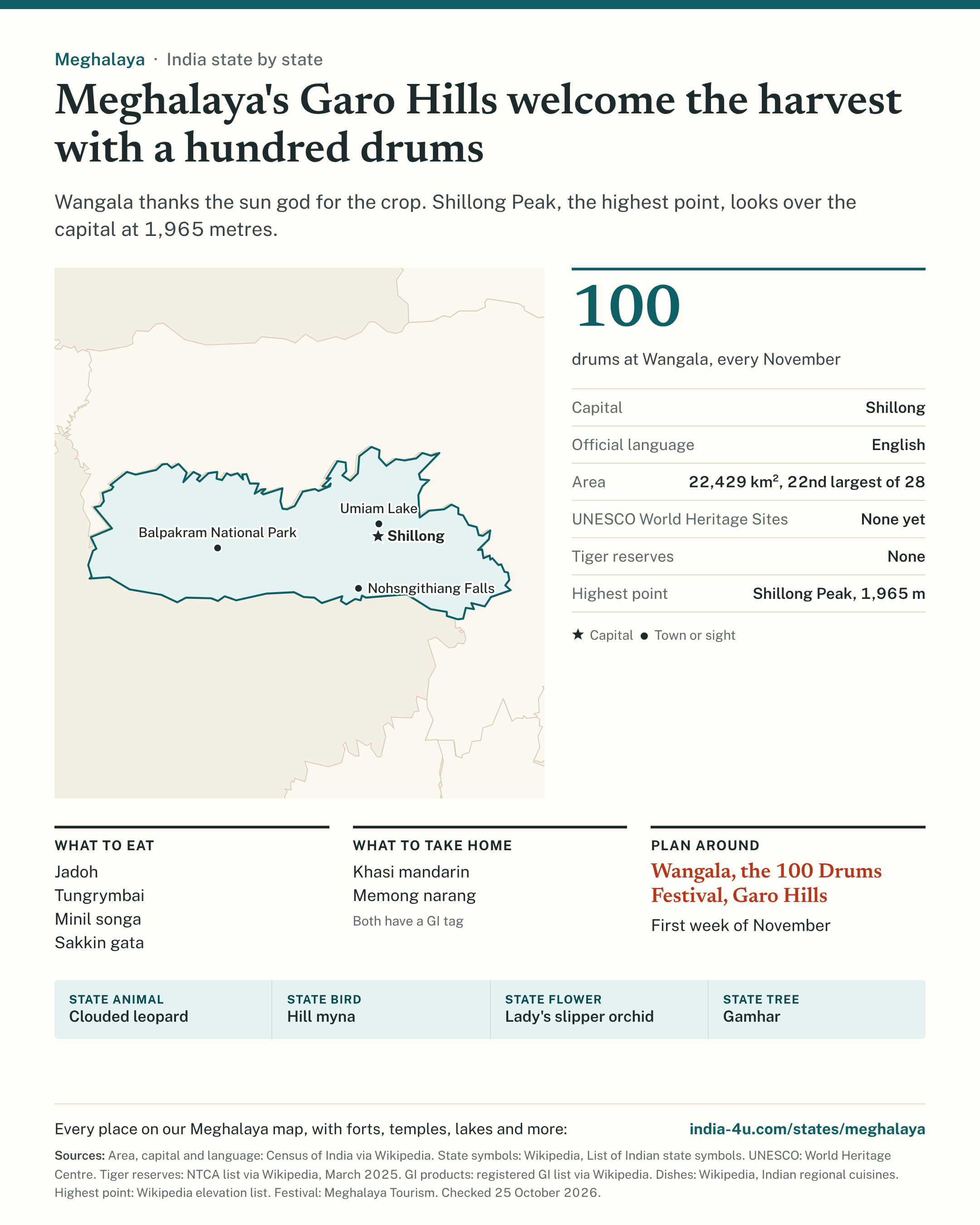
Meghalaya's Garo Hills welcome the harvest with a hundred drums. Wangala thanks the sun god for the crop. Shillong Peak, the highest point, looks over the capital at 1,965 metres.
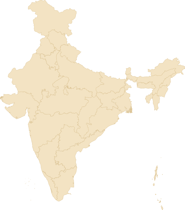
A one-page guide to Meghalaya: a map with the capital, UNESCO sites and tiger reserves, the key facts, what to eat, what to take home and a festival to plan around. Free to save, print and share.
Download the imageDownload the PDFSave to Pinterest
Image 602 KB, PDF 166 KB. Sources are printed on the guide; checked 25 October 2026.
Free to use with the credit link. Copy this code:
Cities: Shillong.
Tick what you have tried. It all counts on the food passport.
Places come from Wikidata (CC0) and our own destination guides; checked 19 Oct 2026.